QUESTIONS? CALL OR TEXT! 1 (877) 921-6277 or (403) 266-2241
WE SHIP EVERYWHERE!

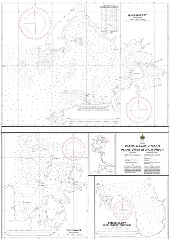
Navigate the vast and remote waters of Ontario’s largest inland lake with the detailed precision of Nautical Chart 6050. This official Canadian Hydrographic Service (CHS) map provides essential, high-resolution harbour plans in Lake Nipigon, offering the large-scale detail required for safe transit and docking in the region's primary ports and sheltered inlets.
Chart 6050 is a critical resource for mariners navigating the "Sixth Great Lake," featuring a scale of 1:36,000 to ensure maximum clarity for intricate coastal areas. It includes precise bathymetric soundings, identifies hazardous submerged rocks, and provides the exact positioning of navigational aids vital for this rugged subarctic environment. Whether you are a commercial vessel operator, a dedicated angler, or a recreational boater exploring the wilderness of the Nipissing District, this chart delivers the professional accuracy needed to handle Lake Nipigon's unique depths and rocky shoreline configurations.
Key Features:
Specialized Harbour Plans: Provides large-scale, detailed views of specific ports and approaches within Lake Nipigon that are not fully captured on smaller-scale regional charts.
Hydrographic Precision: Features updated depth contours and sea bottom characteristics essential for safe anchoring and navigation.
Professional Grade Navigation: Meets official carriage requirements under the Canada Shipping Act for vessels transiting these northern waters.
Rugged Shoreline Detail: Clearly identifies coastal elevations, configurations, and navigational dangers unique to the Lake Nipigon basin.
Scale: 1:36,000
Region: Central and Arctic (Ontario)
Format: Available as high-quality paper or waterproof print-on-demand