QUESTIONS? CALL OR TEXT! 1 (877) 921-6277 or (403) 266-2241
WE SHIP EVERYWHERE!

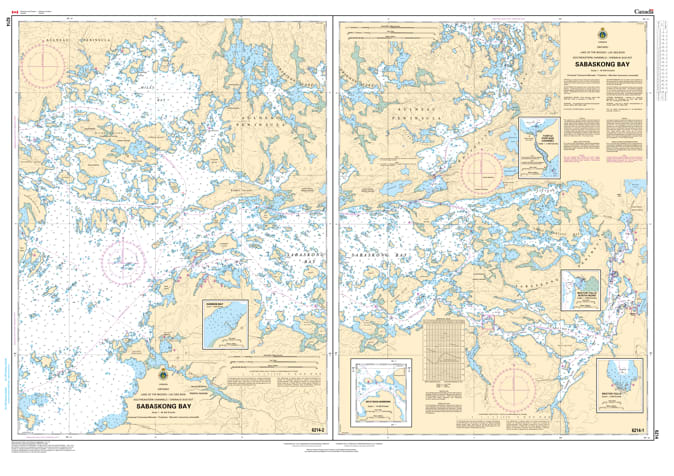
Navigate the legendary "muskie capital" of the southeast with the precision of Nautical Chart 6214. This official Canadian Hydrographic Service (CHS) map provides comprehensive, high-resolution coverage of Sabaskong Bay, one of the most productive and geographically complex regions of Lake of the Woods.
Sabaskong Bay is famous for its massive weed beds, intricate island chains, and hidden rock structures—features that make for world-class fishing but challenging navigation. Chart 6214 is an essential safety tool, providing detailed bathymetric soundings and depth contours to help mariners avoid the hazardous reefs and shallow flats that define this part of the lake. The chart includes the exact positioning of all seasonal navigational aids, buoyed channels, and identifies the best routes for traveling between the main lake and the mainland docks near Morson, Ontario. Whether you are a tournament angler chasing trophy muskellunge or a recreational boater exploring the sheltered southeast inlets, this chart provides the professional-grade accuracy required for safe pilotage.
Key Features:
Specialized Southeast Coverage: Detailed mapping of Sabaskong Bay, including its countless islands and the eastern approaches to the lake.
Hydrographic Precision: Features updated depth data and bottom characteristics essential for navigating the bay’s varying underwater terrain.
Safety & Navigation: Clear identification of hazardous rocky shoals, submerged reefs, and the primary channels used by local guides and lodges.
Angler’s Resource: The definitive guide for identifying the bays, points, and underwater structures critical for successful fishing in the southeast arm.
Region: Southeast Lake of the Woods, Ontario.
Primary Coverage: Sabaskong Bay, Morson area, and connecting eastern channels.