QUESTIONS? CALL OR TEXT! 1 (877) 921-6277 or (403) 266-2241
WE SHIP EVERYWHERE!

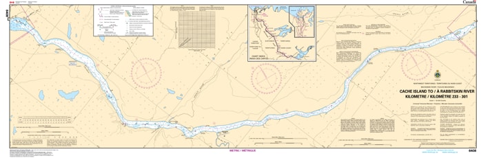
Navigate the powerful currents and shifting channels of the Northwest Territories with Nautical Chart 6408. This specialized river chart provides essential coverage for the Mackenzie River, specifically the segment flowing from Cache Island to the Rabbitskin River - KM's 233 to 301.
Designed for the unique challenges of northern river navigation, Chart 6408 offers detailed bathymetry and shoreline data critical for both commercial barges and recreational expeditions. It features precise markings of known sandbars, rocky reaches, and the vital navigational aids that define the safe shipping channel. Whether you are conducting seasonal resupply operations or embarking on a long-distance river journey, this chart provides the professional accuracy required to handle the Mackenzie's complex hydrology.
Key Features:
River-Specific Mapping: Dedicated coverage of the Mackenzie River corridor from Cache Island to the confluence of the Rabbitskin River.
Dynamic Navigation Data: Highlights significant channel features, depth soundings, and riverbank topography.
Safety & Hazards: Identifies submerged obstructions and shifting shallow zones unique to northern river systems.
Professional Grade: Engineered for high visibility and durability, suitable for use on commercial tugs and remote exploration vessels.