QUESTIONS? CALL OR TEXT! 1 (877) 921-6277 or (403) 266-2241
WE SHIP EVERYWHERE!

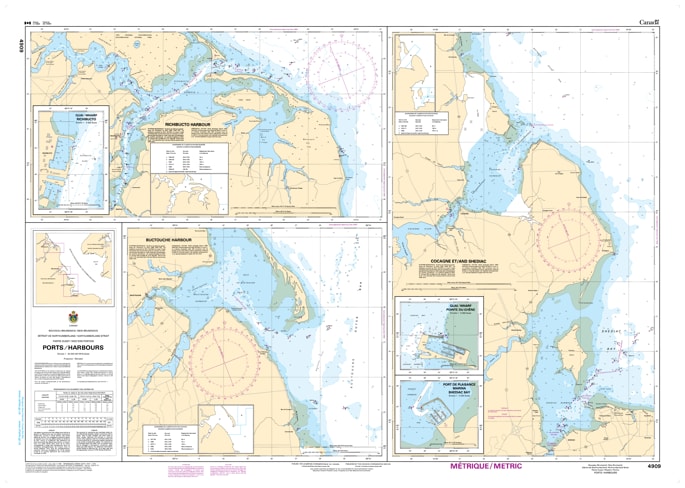
Navigate the dynamic and highly trafficked waters of the western Northumberland Strait (Détroit de Northumberland) with our premium-grade marine map. This highly detailed nautical chart is an indispensable resource for commercial vessel operators, coastal fishermen, recreational boaters, and maritime historians tracking the vital marine corridor situated between eastern New Brunswick and western Prince Edward Island.
Featuring precise depth soundings, clear shoreline topography, and accurate placements of shifting sandbars, local shoals, and navigation buoys, this map provides the essential tactical clarity required for a safe voyage through these waters. Whether you are navigating the approaches to local harbors, planning a transit across the strait, or looking for a striking piece of regional artwork to frame for your home, cottage, or office, this map beautifully blends functional reliability with visual excellence. Printed on high-quality, durable media, it is designed to withstand active onboard use or serve as a long-lasting display piece celebrating the rich seafaring heritage of the Maritimes.