QUESTIONS? CALL OR TEXT! 1 (877) 921-6277 or (403) 266-2241
WE SHIP EVERYWHERE!

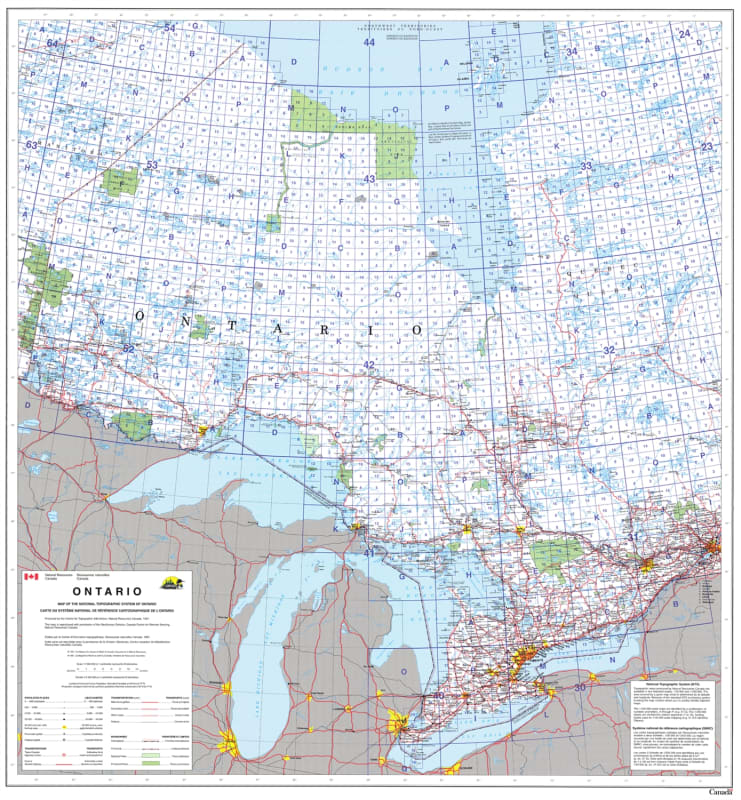


Navigate the vast geography of Central Canada with the Ontario Provincial Base Map, rendered at a comprehensive 1:2,000,000 scale.
Designed for both professional and educational use, this map integrates the National Topographic System (NTS) grid, making it an essential tool for geologists, urban planners, and outdoor enthusiasts who require a standardized reference system. The map provides high-clarity visualization of Ontario’s complex hydrography, featuring major rivers, lakes, and intricate waterways.
Key Features include:
Comprehensive Infrastructure: Detailed plotting of cities, towns, villages, and regional airports.
Political & Geographic Markers: Clear delineation of political boundaries, supported by a precise latitude and longitude grid for global positioning.
NTS Grid Integration: Includes the full National Topographic System index, allowing for seamless cross-referencing with 1:50,000 and 1:250,000 scale topographic sheets.
Extensive Coverage: Features essential border regions of Manitoba and Quebec, alongside the entirety of Ontario from the Great Lakes to Hudson Bay.
Whether utilized for logistics planning, administrative overviews, or as a high-quality wall display, this Provincial Base Map offers an unmatched level of detail for Canada's most populous province.