QUESTIONS? CALL OR TEXT! 1 (877) 921-6277 or (403) 266-2241
WE SHIP EVERYWHERE!

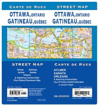
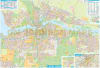
Navigate Canada’s National Capital Region with absolute precision using the Ottawa & Gatineau Detailed Street Map. This comprehensive cartographic resource is the ultimate guide for residents, commuters, and visitors, offering seamless coverage across provincial borders. From the high-tech hubs of Kanata to the growing communities of Orleans, and across the river to Gatineau and Aylmer, this map provides a clear and organized view of the entire metropolitan area.
This map is more than just a street guide; it is a vital tool for understanding the city's complex infrastructure. It features detailed road designations, transit routes, and municipal boundaries, ensuring you can find the most efficient path through the city. For those exploring the heart of the capital, a specialized Ottawa Downtown Map insert provides high-resolution detail of the Parliamentary precinct, business districts, and major landmarks. Whether you are looking for government buildings, cultural centres, essential services, or recreational parks, this map consolidates all the information you need into one easy-to-read, professional format.
Key Features:
Expansive Regional Coverage: Includes Ottawa, Gatineau, Aylmer, Kanata, Orleans, and all adjoining suburban communities.
Downtown Specialist: Features a high-detail insert of the Ottawa Downtown core for easy urban navigation.
Integrated Infrastructure: Shows updated transportation networks, road designations, and municipal boundaries.
Essential Services & Culture: Clearly marked locations for cultural centres, hospitals, government services, and points of interest.
Bilingual Region Ready: Covers both the Ontario and Quebec sides of the Ottawa River with equal detail.
Clear Legibility: High-contrast design ensures that street names and transit symbols are easy to read at a glance.
This map can be laminated, but will then ship rolled in a tube.