QUESTIONS? CALL OR TEXT! 1 (877) 921-6277 or (403) 266-2241
WE SHIP EVERYWHERE!

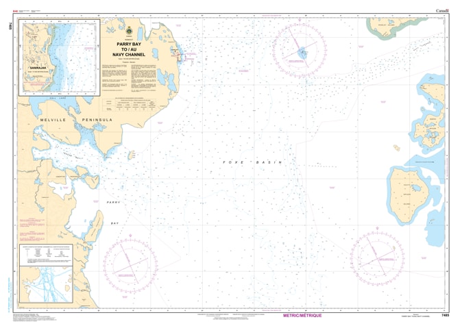
Navigate the remote and demanding waters of Canada’s Arctic with the official Canadian Hydrographic Service (CHS) Chart 7485, covering Parry Bay to Navy Channel (including coverage of Hall Beach). Meticulously engineered for professional mariners, commercial vessels, and northern expeditions, this high-precision nautical chart is an indispensable resource for safe passage through these northern passages.
This chart provides detailed marine cartography, including critical depth soundings, shoreline topography, hazards, and underwater obstacles characteristic of the Central and Arctic region. Whether you are relying on it as a critical physical backup to your ship's electronic navigation systems or adding it to a collection of specialized Canadian Arctic maritime charts, this map ensures unparalleled tactical clarity. Printed on demand using durable, high-quality media, it stands up to the rigors of maritime use or serves as a striking, historically rich display piece for Arctic enthusiasts.