QUESTIONS? CALL OR TEXT! 1 (877) 921-6277 or (403) 266-2241
WE SHIP EVERYWHERE!

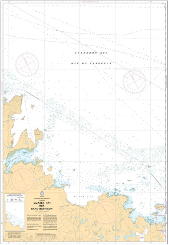
Navigate the remote, wave-swept waters of the Central Labrador Coast with the official Canadian Hydrographic Service (CHS) Chart 5043, covering the coastal passage from Quaker Hat to Cape Harrison. This high-precision marine chart is an indispensable tactical resource for northern shipping fleets, commercial fishers, specialized expedition vessels, and coastal cruisers tracking the demanding pathways along this pristine subarctic wilderness.
Engineered to clear the complexities of a coastline defined by intricate island archipelagos, deep bays, hidden shoals, and variable North Atlantic weather conditions, this map provides crucial hydrographic data. It features detailed depth soundings, accurate shoreline topography, underwater hazards, coastal channels, and essential navigation markers necessary for safe passage through this remote region. Whether you are using this print-on-demand chart as a vital physical safety backup to your onboard electronic systems or displaying it as a beautifully detailed piece of Canadian maritime geography in your home, cottage, or office, it offers unmatched clarity. Printed on premium, heavy-duty media, it is built to handle active marine conditions or serve as a striking coastal display.