QUESTIONS? CALL OR TEXT! 1 (877) 921-6277 or (403) 266-2241
WE SHIP EVERYWHERE!

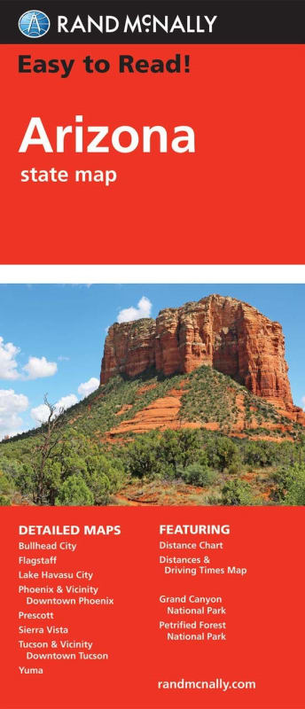
Navigate the Grand Canyon State with clarity using Rand McNally’s Easy To Read Arizona State Folded Map. This edition is the ultimate travel companion for those who want the legendary accuracy of Rand McNally cartography but with the added benefit of a larger map and bigger type size. Designed to reduce eye strain, this map makes identifying complex highway interchanges and remote desert roads effortless.
This full-color, regularly updated map provides comprehensive coverage of the entire state, from the high desert of the north to the vibrant southern border. It clearly labels all Interstate, U.S., state, and county highways, ensuring you stay on the right path whether you are on a major freeway or a scenic backroad.
Premium Features for the Arizona Traveler:
Enhanced Readability: Larger print and superior contrast compared to standard folded maps.
Tourism & Landmarks: Points of interest, national and state parks, airports, and county boundaries are clearly marked for easy trip planning.
Precision Logistics: Includes a mileage and driving times map to help you gauge distances between major hubs like Phoenix, Tucson, and Flagstaff.
Quick Navigation: A detailed index and an easy-to-use legend allow you to locate cities, small towns, and recreational areas in seconds.
Portable Design: While the map is larger when opened, it maintains a convenient folded size that fits perfectly in your glove box or door pocket.
Trusted by generations of travelers, this map remains the standard for exploring Arizona’s diverse landscapes and historic sites.