QUESTIONS? CALL OR TEXT! 1 (877) 921-6277 or (403) 266-2241
WE SHIP EVERYWHERE!

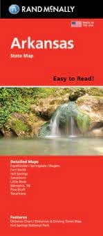
Navigate the Natural State with the legendary accuracy of Rand McNally’s Arkansas Easy To Read State Folded Map. This updated, full-color resource is designed for travelers who demand high visibility without sacrificing detail. Featuring a 31% larger map area and an increased type size compared to standard folded maps, this edition ensures that every interstate, U.S. highway, and county road is legible at a glance.
From the rugged Ozark Mountains to the delta lowlands, this map provides unbeatable reliability for your next road trip. It clearly indicates state and national parks, major airports, and county boundaries, alongside a comprehensive mileage and driving times map to help you stay on schedule. Whether you are heading to the capital in Little Rock, exploring the thermal waters of Hot Springs, or navigating the booming Northwest corridor, this map is the trusted standard for Arkansas travel.
Key Features include:
Enhanced Visibility: A 31% larger layout with bigger fonts for stress-free reading of town names and exit numbers.
Comprehensive Urban Insets: Includes detailed maps for Little Rock, Fayetteville/Springdale/Rogers, Fort Smith, Hot Springs, Jonesboro, Pine Bluff, Texarkana, and even Memphis, TN.
Trusted Road Networks: Meticulously labeled Interstate, U.S., state, and county highways for precise routing.
Quick-Reference Tools: Features a detailed index and an intuitive legend to help you locate destinations and points of interest in seconds.
Compact Portability: The convenient folded size fits perfectly in your glove box, center console, or seat-back pocket.