QUESTIONS? CALL OR TEXT! 1 (877) 921-6277 or (403) 266-2241
WE SHIP EVERYWHERE!

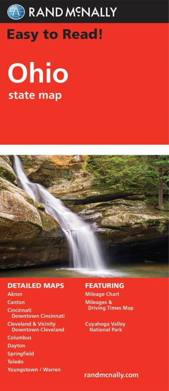
Travel through the "Buckeye State" with the unmatched clarity of Rand McNally’s Ohio Easy To Read State Folded Map. From the shores of Lake Erie to the rolling hills of the Ohio River Valley, this updated, full-color resource is the definitive tool for travelers who prioritize high visibility. Featuring a 26% larger map area and an increased type size compared to standard folded maps, this edition ensures every town, Interstate exit, and county road is easy to read at a glance.
This map provides unbeatable accuracy across the entire state, illustrating the complete network of Interstate, U.S., state, and county highways. Beyond the highway system, it serves as a comprehensive travel companion, clearly indicating state and national parks, major airports, and county boundaries. Whether you are navigating the "Three C’s"—Cleveland, Columbus, and Cincinnati—or exploring the natural beauty of Cuyahoga Valley National Park, the included mileage and driving times map helps you plan your journey with total precision.
Key Features include:
Enhanced Readability: A 26% larger layout with oversized fonts to reduce eye strain and simplify roadside navigation.
Comprehensive Urban & Regional Insets: Detailed maps for Columbus, Cleveland & Vicinity, Downtown Cleveland, Cincinnati, Downtown Cincinnati, Dayton, Toledo, Akron, Canton, Youngstown, and Warren.
National Park Detail: Features a specialized inset for Cuyahoga Valley National Park, highlighting trails and access points.
Trusted Cartography: Regularly updated data showing all arterial roads, the Ohio Turnpike, and key geographic landmarks.
Traveler’s Toolkit: A detailed index and an intuitive legend make finding specific destinations, sports arenas, or local parks quick and easy.
Compact Portability: The convenient folded size fits perfectly in your glove box or door pocket while remaining durable for frequent use.