QUESTIONS? CALL OR TEXT! 1 (877) 921-6277 or (403) 266-2241
WE SHIP EVERYWHERE!

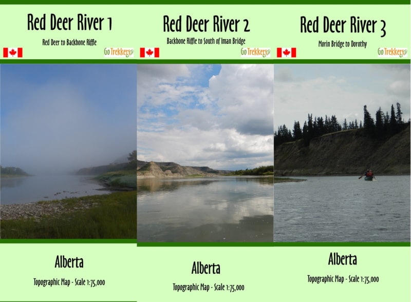
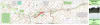
Explore the winding beauty and dramatic badlands of Central Alberta with the Red Deer River Canoe Map Set. This comprehensive package includes three specialized topographic maps designed specifically for paddlers, covering the premier river corridor from the City of Red Deer downstream to the historic settlement of Dorothy. Whether you are planning a casual weekend float or a multi-day expedition through the fossil-rich Drumheller valley, this map set provides the geographic precision and route intelligence required for a successful journey.
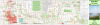
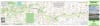
Each map in this series is rendered at a detailed 1:75,000 scale, offering a perfect balance between technical river detail and broad-view landscape context. The specialized 40" x 12" "strip map" format allows for easy handling in a canoe cockpit while following the river’s natural flow. These maps are packed with essential navigation data, including verified river access points, rapid classifications, and suggested canoe routes. Beyond the water, the maps feature detailed elevation contours, land cover information, and shaded relief to help you identify prominent landmarks and scout for the perfect backcountry campsite among the hoodoos and riparian forests.
Key Features:
Complete Corridor Coverage: Three-map set spanning the Red Deer River from the City of Red Deer to Dorothy, Alberta.
1:75,000 Detailed Scale: High-resolution topography for navigating bends, islands, and technical river sections.
Paddler-Centric Data: Highlights mission-critical information including access points, launch sites, and rapids.
Expansive Terrain Visualization: Shows elevation, land cover, and water features to help with land-based orientation and campsite scouting.
Optimized Format: Each 40" x 12" sheet is designed for high readability and easy folding during outdoor adventures.
Field Durability: Printed on high-quality paper and delivered in protective plastic sleeves to guard against splashes and wear.