QUESTIONS? CALL OR TEXT! 1 (877) 921-6277 or (403) 266-2241
WE SHIP EVERYWHERE!

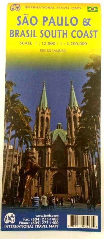


Navigate South America’s most powerful economic and cultural engine with the São Paulo & Brazil South Coast Travel Map. As one of the continent's two "great cities," São Paulo is a vibrant, sprawling megalopolis that demands the high-level cartographic detail provided in this newly updated ITMB reference.
This double-sided map offers a comprehensive dual perspective. One side features a highly detailed street map of São Paulo, meticulously updated to include the city's rapidly evolving transit networks, major avenues, and essential urban landmarks. The reverse side transitions to a wide-area regional map of Southern Brazil. This map covers the most densely populated and commercially significant stretch of the country, extending from Belo Horizonte in the north down to Rio Grande in the far south. To ensure complete coverage for the coastal traveler, a large-scale inset of central Rio de Janeiro is also included, highlighting its iconic tourist attractions and historic districts.
Key Features include:
Comprehensive São Paulo Urban Plan: Detailed street-level mapping with a focus on metro stations, museums, and commercial centers.
Southern Brazil Regional Coverage: Accurate road networks connecting the states of São Paulo, Paraná, Santa Catarina, and Rio Grande do Sul.
Rio de Janeiro Bonus Inset: A specialized map of "Cidade Maravilhosa’s" central core for easy sightseeing.
Tourism & Navigation: Clearly identifies top tourist attractions, national parks, airports, and major coastal ferry routes.
Topographical Context: Features relief shading to illustrate the dramatic Serra do Mar coastal mountains and the interior plateaus.