QUESTIONS? CALL OR TEXT! 1 (877) 921-6277 or (403) 266-2241
WE SHIP EVERYWHERE!

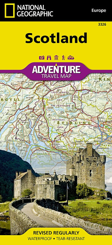

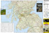
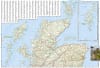
Experience the dramatic Highlands, historic castles, deep lochs, and rugged island coastlines of the North with the Scotland National Geographic Adventure Map. Purpose-built for hill walkers, road trippers, historical explorers, and outdoor enthusiasts, this comprehensive two-sided travel map delivers exceptional geographic precision, regional perspective, and offline navigation reliability.
Printed on heavy-duty synthetic paper, this map is 100% waterproof and tear-resistant, engineered to withstand wet Scottish weather, field use in the Highlands, and frequent folding in the pack.
Highland Peaks & Backcountry Routes: Highlights premier outdoor destinations, including the Cairngorm Plateau—Britain's highest contiguous mountain region—alongside classic summit hikes up Ben Vrackie and Meall Fuar-mhonaidh.
Historic Landmarks & Scenic Waterways: Features cultural and historical highlights across the country, from the iconic waters of Loch Ness and historic castle ruins to the white-water stretches of the River Tay and the historic Highland gateway village of Dunkeld.
Island Archipelago Coverage: Extends off the northern mainland to detail the coastal roads, archaeological sites, and ferry links across the Orkney Islands and Shetland Islands.
Comprehensive Road Network: Displays primary highways, driving distances between major towns, scenic secondary routes, and remote single-track roads for exploring off the beaten path.
Ultra-Durable & Field-Ready: Printed in the USA on waterproof, tear-resistant synthetic material. Measures 26" x 38" unfolded and folds down smoothly to a compact 4.25" x 9.25" packable size.
Whether driving the North Coast 500, hill walking across the Cairngorms, or touring historic sites from Edinburgh to the Hebrides, National Geographic Adventure Maps are the essential companion for Scottish travel.