QUESTIONS? CALL OR TEXT! 1 (877) 921-6277 or (403) 266-2241
WE SHIP EVERYWHERE!

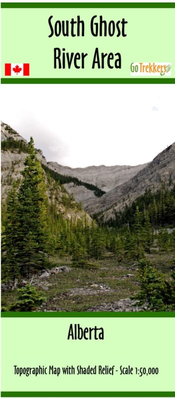
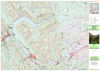
Navigate one of the most rugged and dynamic wilderness zones in the Canadian Rockies with the authoritative South Ghost River Southern Area Topographic Map. Engineered at a highly detailed 1:50,000 scale, this premium map covers the spectacular, unbridled backcountry corridor located directly north of the Bow Valley and Banff National Park. Stretching from the southeastern shores of Lake Minnewanka down to Dead Man's Flats, this technical map delivers the precise terrain data and route accuracy required by mountaineers, backcountry scramblers, ice climbers, and off-road adventurers exploring Alberta's public land use zones (PLUZ).
Measuring an expansive 36" x 30", this large-format map utilizes advanced shaded relief to bring the region’s complex, vertical topography to life. The Ghost River wilderness is famous for its sheer limestone cliffs, deep canyons, and unmaintained trails. This map ensures you can accurately visualize slope gradients, identify knife-edge ridges, and safely locate remote access routes into valleys that receive zero cellular signal.
Topographic Precision (1:50,000): Delivers micro-level detail of the landscape, making it simple to map out off-trail approaches, alpine scrambles, and high-elevation ridge walks.
Extensive Regional Coverage: Flawlessly tracks the geographic transition from the eastern boundary of Banff National Park into the rugged public lands of the Ghost River wilderness, bridging the gap between Lake Minnewanka and the Trans-Canada Highway corridor at Dead Man's Flats.
Hydrographic & Geomorphic Markers: Clearly highlights changing riverbeds, creek crossings, remote alpine tarns, and major mountain peak elevations.
Whether you are packing an expedition kit for an multi-day wilderness trek, scouting remote ice climbing walls in the North Ghost, or planning a rugged 4x4 staging route, this specialized paper map is an indispensable safety asset that belongs in every Alberta outdoorsman's pack.