QUESTIONS? CALL OR TEXT! 1 (877) 921-6277 or (403) 266-2241
WE SHIP EVERYWHERE!

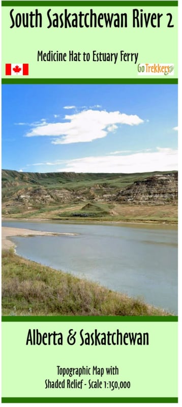
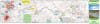
Navigate the historic waters of the prairies with the South Saskatchewan River Canoe Map #2, a specialized topographic guide for serious paddlers. This map focuses on the critical stretch of the river beginning at the Canadian Forces Base (CFB Suffield) region and extending toward the confluence with the Red Deer River. At a high-detail 1:75,000 scale, this map provides the granular geographic data necessary for safely identifying river features, sandbars, and potential landing sites along this remote corridor.
Measuring a panoramic 41" x 10", the map’s elongated format is perfectly suited for following the river’s winding course without frequent page flips. The topographic base ensures that canoeists can accurately read the surrounding terrain, from steep coulees to flat prairie banks. Whether you are planning a multi-day expedition starting in Alberta or navigating the transition into Saskatchewan, this map is the definitive resource for understanding the water’s flow and the landscape’s challenges. Essential for backcountry trip planning, it highlights the unique geography of one of Western Canada's most significant waterway systems.