QUESTIONS? CALL OR TEXT! 1 (877) 921-6277 or (403) 266-2241
WE SHIP EVERYWHERE!

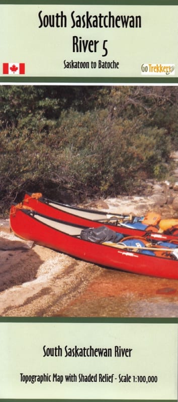


Paddle the historical waters of Central Saskatchewan with the South Saskatchewan River Canoe Map 5 (Saskatoon to Batoche).
Printed at a clear 1:100,000 scale, this 10" x 41" map features shaded relief topography alongside detailed hydrology, river access points, sandbars, and surrounding terrain.
Detailed River Topography: Features a 1:100,000 scale with shaded elevation relief to easily read river banks, bluffs, islands, and surrounding prairie landforms.
Essential Paddling Data:Clear markers highlight boat launch locations, river access points, camp sites, and historical points of interest along the route.
Precise Coordinates:Includes both Latitude/Longitude and UTM grid coordinates for GPS navigation, as well as city street address reference points in Saskatoon.
Ultra-Durable Synthetic Print: Printed on waterproof and tear-resistant synthetic paper designed to withstand wet canoe cockpits, dry bags, and harsh weather.
Compact River-Runner Format:Measuring 14 inches by 41 inches, the map folds conveniently into a protective sleeve for easy storage on the water.
Whether embarking on an overnight expedition or planning day trips out of Saskatoon, the South Saskatchewan River 5 map is an indispensable tool for safe and scenic river navigation.