QUESTIONS? CALL OR TEXT! 1 (877) 921-6277 or (403) 266-2241
WE SHIP EVERYWHERE!

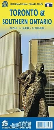


Explore the best of Canada’s premier urban destination and its surrounding regions with this dual-sided Toronto & Southern Ontario Regional Travel Map. Designed specifically for tourists and explorers, this map prioritizes clarity and essential travel data over cluttered residential grids.
The primary side features a detailed Toronto City Core guide, focusing on the high-activity zone from the scenic waterfront north to St. Clair Avenue, and from the lush greenery of High Park east to the Don Valley. This curated view ensures you can easily locate:
Major Landmarks: Including the iconic CN Tower and world-class museums.
Transit & Logistics: Clearly marked rapid transit lines and major hotel hubs.
Leisure & Culture: Premium shopping districts and public parks.
To provide a complete travel experience, the reverse side features a comprehensive Southern Ontario Regional Map. This expansive view stretches from Windsor and Detroit in the west to Ottawa in the east, reaching north to the mining hubs of Sudbury and North Bay. It also covers key U.S. border cities like Buffalo, Cleveland, and Rochester, making it the perfect tool for cross-border road trips and visits to the breathtaking Niagara Falls.