QUESTIONS? CALL OR TEXT! 1 (877) 921-6277 or (403) 266-2241
WE SHIP EVERYWHERE!

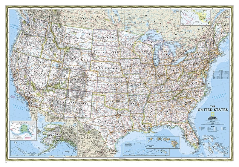
Bring timeless National Geographic cartography into your home, office, or classroom with the USA Classic Wall Map – National Geographic. As National Geographic’s flagship United States map, this detailed 43" x 30" reference print showcases all 50 states with unmatched aesthetic beauty, spatial accuracy, and legibility.
Featuring National Geographic’s signature Classic cartographic style—distinguished by crisp state borders, bright ocean blue bathymetry, and soft 3D shaded relief—this map clearly depicts thousands of place names across the nation. Insets for Alaska and Hawaii ensure complete coverage of the United States, while detailed transportation corridors and natural geographical features provide rich educational depth.
Complete 50-State Coverage: Maps the entire contiguous United States, featuring detailed corner insets for Alaska and Hawaii drawn to scale.
Transportation & Infrastructure: Highlights major Interstate highways, primary federal routes, transcontinental railroad lines, and major airports.
Detailed Physical & Political Geography: Displays clear state boundaries, county seats, major metropolitan areas, river basins, inland lakes, and mountain range elevations.
National Parks & Federal Lands: Pinpoints U.S. National Parks, monuments, historic sites, and protected wilderness areas across every state.
Classic Cartographic Styling: Printed with National Geographic's iconic blue ocean palette, traditional typography, and soft shaded relief terrain.
Standard Wall Display Size: Measures 43" x 30", making it ideal for standard framing or direct mounting in corporate boardrooms, classrooms, home libraries, or study spaces.
Whether used as a visual tool for cross-country road trip planning, an educational reference for students, or an elegant wall decoration, the National Geographic USA Classic Wall Map remains the industry standard in American geography presentation.