QUESTIONS? CALL OR TEXT! 1 (877) 921-6277 or (403) 266-2241
WE SHIP EVERYWHERE!

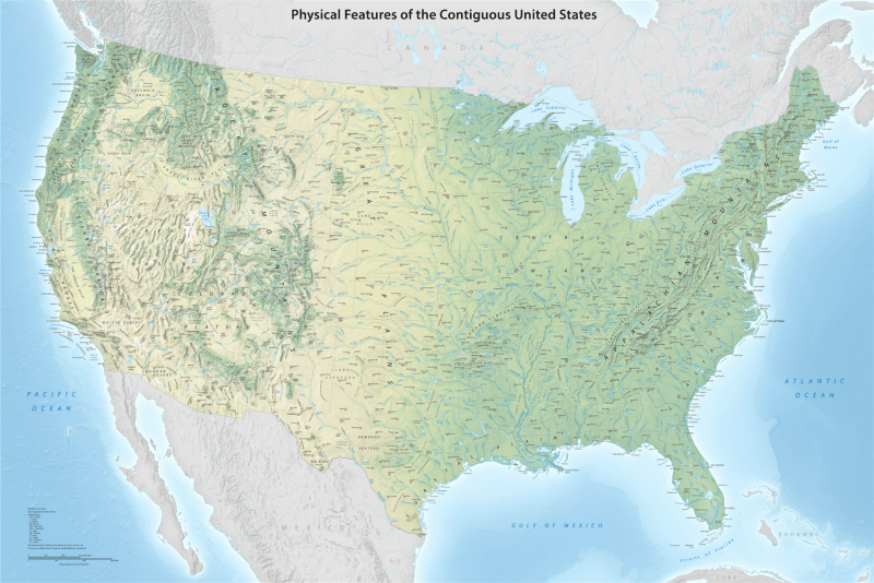


Visualize the vast and varied terrain of the American landscape with the USA Physical Features Wall Map. Measuring a substantial 45x30 inches, this professional-grade map offers an unparalleled look at the "bones" of the lower 48 states. By stripping away political boundaries and high-traffic road networks, this map prioritizes the natural world, using exquisite shaded relief and vibrant elevation tints to bring the nation's topography to life.
From the towering snow-capped peaks of the Rocky Mountains and the Sierra Nevada to the rolling ridges of the Appalachians, every major mountain system is rendered with stunning three-dimensional clarity. The map provides a comprehensive view of the Great Plains, the arid basins of the Mojave and Great Basin Deserts, and the fertile Mississippi River Valley. Hydrographic accuracy is a hallmark of this edition, featuring an intricate network of rivers, the expansive Great Lakes, and the deep-water canyons of the continental shelf. Designed for educators, geologists, and nature lovers, this map is the definitive visual reference for understanding the landforms that have shaped American history and ecology.