QUESTIONS? CALL OR TEXT! 1 (877) 921-6277 or (403) 266-2241
WE SHIP EVERYWHERE!

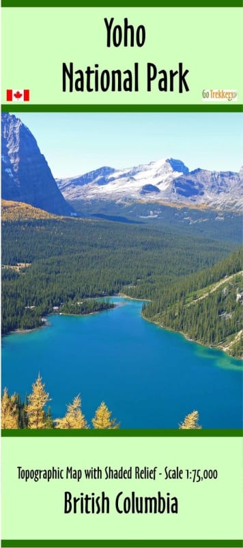

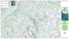
Explore the vertical wonders of the Canadian Rockies with the Yoho National Park Topographic Trail Map. Specifically engineered for hikers, backpackers, and mountaineers, this high-detail map is the ultimate navigation tool for one of British Columbia’s most dramatic landscapes. Covering the entire park at a precise 1:75,000 scale, the map utilizes 20-metre contour intervals and expert shaded relief to bring the rugged topography of the Kicking Horse Valley and its surrounding peaks to life.
Measuring 27" x 37", this map provides comprehensive coverage of 81 official park trails, ranging from accessible valley walks to high-alpine technical routes. It features essential data for visiting Yoho’s world-renowned landmarks, including the thunderous Takakkaw Falls, the turquoise waters of Emerald Lake, and the famous Natural Bridge. Special attention is given to restricted and remote areas, providing the necessary context for those visiting the Lake O'Hara backcountry, trekking the spectacular Iceline Trail, or embarking on a guided tour to the prehistoric Burgess Shale Fossil Beds. With clearly marked campgrounds, trailheads, and points of interest like the Spiral Tunnels and Wapta Falls, this map ensures you can navigate the terrain safely while making the most of your outdoor adventure in the heart of the Rockies.