QUESTIONS? CALL OR TEXT! 1 (877) 921-6277 or (403) 266-2241
WE SHIP EVERYWHERE!

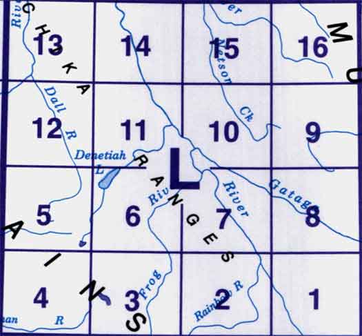
Use the following image to move to adjacent topo map indexes.
Back to the Block 094 Topographic Map Index.
94L - Kechika River, 94L01 - Braid Creek, 94L02 - Johiah Lake, 94L03 - Mount Irving, 94L04 - No Title, 94L05 - Tucho Lake, 94L06 - Denetiah Lake, 94L07 - Paddy Creek, 94L08 - Through Creek, 94L09 - No Title, 94L10 - Gataga Mountain, 94L11 - Denetiah Creek, 94L12 - Sharktooth Mountain, 94L13 - Moodie Lakes, 94L14 - Moodie Creek, 94L15 - No Title, 94L16 - Gundahoo Pass