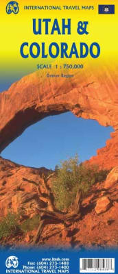
Whether you are in Utah for some skiing, rafting, rock climbing or mountain biking, you are in for a real treat. This state contains some of the best terrain anywhere for all of your outdoor pursuits.
Capitol Reef National Park is a hidden gem located in the Waterpocket Fold, a wrinkle in the earth that extends nearly 100 miles through south-central Utah’s red rock country. National Geographic’s Trails Illustrated map of Capitol Reef provides unmatched detail of the park to meet the needs of amateur and experienced outdoor enthusiasts alike. Created in partnership with local land management agencies, this expertly researched map features the entire park as well as adjacent areas of interest including Anasazi State Park and portions of Fishlake National Forest, Grand Staircase-Escalante National Monument, and Dixie National Forest.
National Geographic’s Trails Illustrated map of Bryce Canyon National Park is designed to meet the needs of outdoor enthusiasts by combining valuable information with unmatched detail of this unique landscape of hoodoos and forest. Created in partnership with local land management agencies, this expertly researched map will help you get the most from your visit with backpacking and day hike trail summaries, accurate road network, trailheads, campgrounds, lodging, and scenic viewpoints. The map features many key points of interest including Rainbow Point, Ruby’s Inn, and Natural Bridge. Portions of Grand Staircase – Escalante National Monument and Dixie National Forest are included as well. The print map includes an inset of Bryce Amphitheater, information on the park’s geology, natural history, weather, history and culture, regulations, and more.
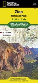
Explore the beauty and geological wonder of Utah’s first national park with National Geographic’s Trails Illustrated map of Zion National Park. Created in partnership with local land management agencies, this expertly researched map combines unmatched detail with useful information to help you get the most from your visit, including a chart detailing the extraordinary geology of Zion and a companion hiking timetable for the popular Zion Narrows. Key areas of interest featured on this map include: Zion Narrows, Kolob Canyons, La Verkin Creek Trail, Hop Valley Trail, Wildcat Canyon, West Rim Trail, Floor of the Valley Road, East Rim Trail, Telephone Canyon, and the Virgin River.
Our Glen Canyon NRA and Rainbow Bridge NM Trails Illustrated map provides detailed topographic coverage, trails, and locations of important recreational points of interest for outdoor enthusiasts. Inset maps for Hite, Halls Crossing, Dangling Rope, Bullfrog Bay, and Wahweap marinas and campgrounds show the location of key facilities such as boat ramps, RV campgrounds, laundry facilities, and parking.
With over 2,000 natural stone arches and hundreds of other extraordinary geological formations, Arches National Park is a red rock wonderland. National Geographic’s Trails Illustrated map of the park combines unmatched detail with helpful information to offer an invaluable tool for making the most of your visit to this iconic region. Created in partnership with local land management agencies, this expertly researched map features key areas of interest including Devils Garden, the Windows Section, Sand Flats Recreation Area, the Sovereign area, and Wolfe Ranch. The print version of the map includes fascinating information about the park’s geology, archeology, history, and culture, as well as contact information and regulations.
National Geographic’s Trails Illustrated map of Canyonlands National Park is designed to meet the needs of outdoor enthusiasts by combining valuable information with unmatched detail of this mesmerizing landscape of river canyons and fantastically formed buttes. Expertly researched and created in partnership with local land management agencies, this map is loaded with helpful information on the park’s archaeology, Glen Canyon, Horseshoe Canyon, backcountry safety, park regulations and more. Key areas of interest featured on this map include Canyon Rims Recreation Area; Glen Canyon National Recreation Area; the Island in the Sky district; the Needles district; and the Maze district.
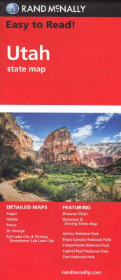
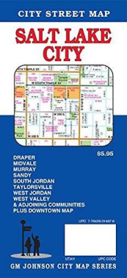
Rand McNally's folded map for Salt Lake City is a must-have for anyone traveling in and around this part of Utah, offering unbeatable accuracy and reliability at a great price. Our trusted cartography shows all Interstate, U.S., state, and county highways, along with clearly indicated parks, points of interest, airports, county boundaries, and streets. The easy-to-use legend and detailed index make for quick and easy location of destinations. You'll see why Rand McNally folded maps have been the trusted standard for years.