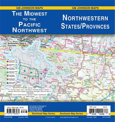
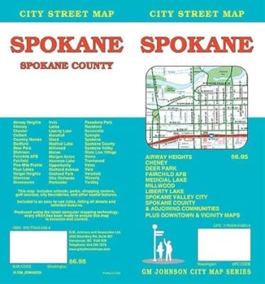
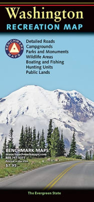
Planning a trip to the Pacific Northwest? Washington, the evergreen state, has abundant outdoor attractions from the beautiful Puget Sound to the stunning Cascade Mountains. If you are planning a more metropolitan vacation, Seattle and Spokane offer plenty of attractions from speedways to spaceneedles.
Olympic National Park encompasses four distinctly different ecosystems in its nearly one million acres. National Geographic’s Trails Illustrated map of Olympic National Park offers outdoors enthusiasts a valuable tool for exploring the park’s old-growth forests, glaciers, untamed rivers, and rugged coastline. Expertly researched and created in partnership with local land management agencies, this map features key areas of interest including Mount Olympus, Ozette Lake, Olympic National Forest, Lake Quinalt, Mount Skokomish Wilderness, Hurricane Ridge, Lake Crescent, and more.
One of five new Trails Illustrated maps for the Washington Cascades region offering the most detailed and up-to-date map for the forest, carefully researched and developed in co-operation with local land managers and agencies. Each map contains easy to read trails, numbered forest service roads, campsites, access points, scenic points-of-interests, and important facilities.
One of five new Trails Illustrated maps for the Washington Cascades region offering the most detailed and up-to-date map for the forest, carefully researched and developed in co-operation with local land managers and agencies. Each map contains easy to read trails, numbered forest service roads, campsites, access points, scenic points-of-interests, and important facilities.
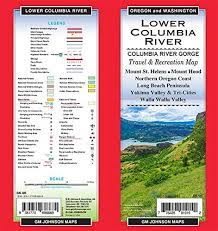
The magnificent Multnomah Falls is just one of many natural, cultural, and recreational attractions in the Columbia River Gorge Scenic Area. The 80-mile-long gorge contains diverse ecosystems ranging from the lush Oneonta Gorge Rain Forest to the arid Celilo Grasslands. Expertly researched and created in partnership with local land management agencies, National Geographic’s Trails Illustrated map of Columbia River Gorge provides an unparalleled tool for exploring this breathtaking region. Some of the key areas of interest featured on the map include the White Salmon, Klickitat, Sandy, and Lower Deschutes rivers; Yacolt Burn State Forest; Maryhill, Columbia Hills, and Rooster Rock state parks; Mark O. Hatfield Wilderness; and portions of Mount Hood and Gifford-Pinchot national forests.
Explore the alpine forests, wild rivers, jagged peaks, and abundant glaciers of North Cascades National Park with National Geographic’s Trails Illustrated map. Expertly researched and created in partnership with local land management agencies, this map features key points of interest including Baker Lake; Rockport State Park; Chelan and Ross Lake National Recreation Areas; Stephen Mather, Mount Baker, and Pasayten Wilderness Areas; Snoqualmie and Okanogan Wenatchee National Forests; and portions of the Sauk, Skagit, and Suiattle rivers.
Olympic National Park encompasses four distinctly different ecosystems in its nearly one million acres. National Geographic’s Trails Illustrated map of Olympic National Park offers outdoors enthusiasts a valuable tool for exploring the park’s old-growth forests, glaciers, untamed rivers, and rugged coastline. Expertly researched and created in partnership with local land management agencies, this map features key areas of interest including Mount Olympus, Ozette Lake, Olympic National Forest, Lake Quinalt, Mount Skokomish Wilderness, Hurricane Ridge, Lake Crescent, and more.