QUESTIONS? CALL OR TEXT! 1 (877) 921-6277 or (403) 266-2241
WE SHIP EVERYWHERE!

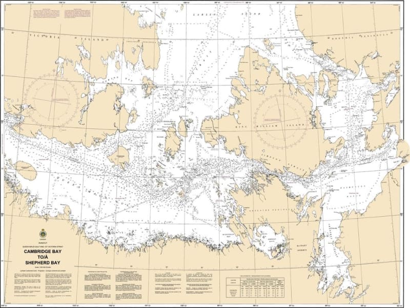
Navigate key Arctic waterways with complete precision using the official 7083 - Cambridge Bay to Shepherd Bay Nautical Chart, published by the Canadian Hydrographic Service (CHS). Serving as essential "road maps" for mariners, CHS nautical charts supply critical hydrographic data to guide vessels safely from port to port across Canada's northern routes.
With expanding commercial shipping, active fishing fleets, recreational expeditions, and ocean resource development in northern waters, relying on accurate, high-precision marine charts is more vital than ever. The 7083 nautical chart is specifically engineered to satisfy strict international and national marine navigation requirements.
Water Depths & Bathymetry: Precise depth soundings to identify safe channels, soundings, and shallow hazards.
Sea Bottom Characteristics: Detailed composition indicators (sand, mud, rock) essential for safe anchoring and marine operations.
Coastal Elevations & Topography: Clear mapping of shorelines, coastal configurations, and visible land features.
Aids to Navigation & Dangers: Explicit locations of buoys, lights, beacons, shoals, submerged rocks, and coastal dangers.
Whether commanding a commercial supply vessel, running regional fishing operations, or navigating local northern passages, the CHS 7083 chart is your primary offline resource for safe transit between Cambridge Bay and Shepherd Bay.