QUESTIONS? CALL OR TEXT! 1 (877) 921-6277 or (403) 266-2241
WE SHIP EVERYWHERE!

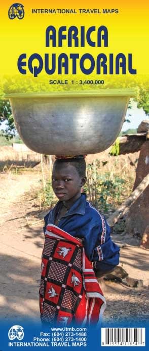
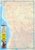
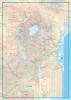
Embark on a journey through the most diverse and rugged landscapes on earth with the Africa Equatorial Travel Reference Map. This expertly crafted, double-sided map is the definitive guide for travelers and overlanders exploring the vast region stretching from just south of Nigeria and Cameroon down to the heart of Zambia. Whether you are navigating the dense rainforests of the Congo Basin or the expansive savannas of Angola, this map provides the geographic clarity needed for serious exploration.
Unlike standard continental maps that oversimplify the interior, this regional reference focuses on the "ground-truth" data required for safe and efficient travel:
Comprehensive Road Network: Detailed coverage of major highways, secondary roads, and 4x4 tracks, specifically noting seasonal road conditions and intermediate distances.
Regional Coverage: Includes the Republic of the Congo, Angola, Zambia, and the Central African Republic, with additional coverage of Gabon, Equatorial Guinea, and portions of the DRC.
Urban & Facility Guidance: Clearly marked urban centers, regional hubs, and essential facilities (airports, airstrips, and border crossings) to assist with logistics and supply planning.
Tourism & Conservation: Features a dedicated focus on national parks, protected areas, and major attractions—perfect for eco-tourism, safaris, and cultural expeditions.
Produced by ITMB Publishing, this map is designed to be a reliable analog backup for digital navigation in remote areas.
Topographic Detail: Features elevation tinting, latitude/longitude grids, and clear symbols for rivers, lakes (including Lake Tanganyika and Lake Kivu), and waterfalls.
Durable & Portable: Printed on high-quality paper, this folded map is light enough for a backpack but detailed enough for a vehicle’s dashboard.
Clear Scale (1:3,400,000): Provides the perfect balance between broad regional overview and local detail for long-haul route planning.
| Feature | Details |
| Regions Covered | Equatorial & Central Africa (Cameroon to Zambia) |
| Countries Included | Congo, Angola, Zambia, CAR, Gabon, Equatorial Guinea |
| Scale | 1:3,400,000 (1 cm = 34 km) |
| Map Type | Double-sided Travel / Road / Physical |
| Key Highlights | Road distances, National Parks, Border crossings, Topography |