QUESTIONS? CALL OR TEXT! 1 (877) 921-6277 or (403) 266-2241
WE SHIP EVERYWHERE!

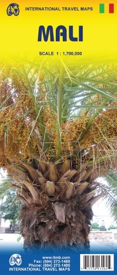
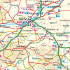
Explore the historic and vast country of Mali with this highly detailed, double-sided travel and road map, scaled at a clear 1:1,700,000. This map is an indispensable tool for adventurers traveling along the Niger River or venturing into the remote Sahara Desert regions.
Double-Sided Layout: The map divides the country into Eastern and Western sections, ensuring excellent detail and overlap for seamless navigation of this immense territory.
Physical Geography: Topography is clearly shown using altitude coloring and spot heights (in feet). Essential features like cliffs, scarps, salt flats, and areas of seasonal inundation (near the Niger River) are marked.
Regional Inclusions: Coverage extends to include relevant portions of Burkina Faso for regional road trip planning.
The map highlights the country's world-renowned historical and cultural destinations:
Timbuktu (Tombouctou): Navigate the legendary center of Islamic scholarship and trans-Saharan trade routes.
Djenné: Locate the route to the UNESCO World Heritage site known for its incredible mud-brick Great Mosque.
Dogon Country: Essential for reaching the villages built into the Bandiagara Escarpment.
Niger River: Marks navigation stops and major riverine towns like Mopti and Gao.
Designed for the serious adventurer, this map includes critical logistical information:
Road Network: Clearly shows local roads, selected tracks (4x4), and paved routes radiating from Bamako. Distances are shown on primary routes.
Fuel & Borders: Marks the locations of fuel supplies and border crossings to neighboring countries (Mauritania, Senegal, Niger, etc.).
City Insets: Features large street plans for the capital Bamako and the ancient city of Timbuktu, pinpointing hotels, embassies, and medical facilities.
Navigate the ancient trade routes and the majestic Niger River with the definitive road map of Mali.