QUESTIONS? CALL OR TEXT! 1 (877) 921-6277 or (403) 266-2241
WE SHIP EVERYWHERE!

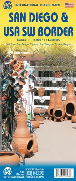
This comprehensive dual-sided map provides unmatched detail for the San Diego metropolitan area and the critical Southwest US-Mexico border region. Whether you are a local resident, a business traveler, or a tourist exploring the Pacific Coast, this map serves as an essential tool for navigating one of the most dynamic regions in North America.
Urban San Diego: Detailed street mapping of downtown San Diego, including major landmarks like Balboa Park, San Diego Zoo, and the historic Gaslamp Quarter.
Border Region Coverage: A large-scale overview of the US Southwest Border, highlighting major ports of entry at San Ysidro, Otay Mesa, and Tecate.
Transportation Hubs: Includes clear markings for San Diego International Airport (SAN), the Tijuana Trolley route, and major interstate highways (I-5, I-8, and I-15).
Recreational Points of Interest: Easily locate Mission Bay, Coronado Island, Cleveland National Forest, and southern beaches near the Tijuana River Estuary.
| Feature | Details |
| San Diego Scale | 1:15,000 |
| SW Border Scale | 1:1,390,000 |
| Key Regions | San Diego County, Tijuana, Baja California, Chula Vista |
| Format | Folded Paper Map (High-Quality Print) |