QUESTIONS? CALL OR TEXT! 1 (877) 921-6277 or (403) 266-2241
WE SHIP EVERYWHERE!

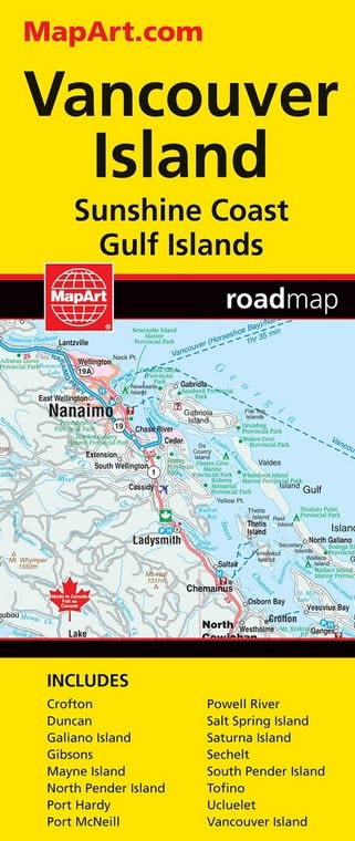
Navigate British Columbia with the Ultimate Vancouver Island & Sunshine Coast Road Map
Embark on your next West Coast adventure with this comprehensive, full-color road map. This detailed map is your essential travel companion for exploring the stunning landscapes of Vancouver Island, the picturesque Sunshine Coast, and the enchanting Gulf Islands. Whether you're a local resident, a tourist, or an avid road tripper, this map provides all the information you need to discover hidden gems and major destinations.
Key Features for the Modern Traveler:
Our full-color map is meticulously designed to offer a wealth of information in a clear and easy-to-read format. It is more than just a map; it's a guide to the region's diverse offerings.
Extensive Road Information: The map features detailed, large-scale road information, including major highways, scenic routes, and local roads, helping you plan your journey with confidence.
Detailed City Maps: Get around key urban centers with ease. The map includes detailed city maps for:
Campbell River
Courtenay
Comox
Gibsons
Parksville
Port Alberni
Port Hardy
Port McNeill
Powell River
Qualicum Beach
Sechelt
Comprehensive Geographic Coverage: Explore beyond the roads with clearly marked features such as lakes, rivers, creeks, cities, towns, and villages. It also highlights major hiking routes for the active adventurer.
Islands and Coasts: The map includes the beautiful Sunshine Coast and the Gulf Islands, making it perfect for planning island-hopping trips via BC Ferries.
Provincial & National Parks: Discover and navigate to a wide array of Provincial and National Parks throughout the region.
From the scenic coastal highway on the Sunshine Coast to the rugged wilderness of northern Vancouver Island, this map is your definitive guide to one of Canada's most beautiful regions. Its durable design makes it perfect for glove compartments and backpacks, ready for any journey.