QUESTIONS? CALL OR TEXT! 1 (877) 921-6277 or (403) 266-2241
WE SHIP EVERYWHERE!

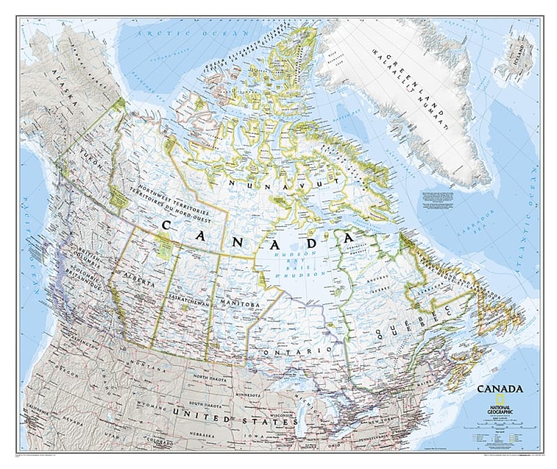
Bring the geography of the Great White North to life with the Canada Political Wall Map – National Geographic. Engineered to National Geographic’s world-renowned cartographic standards, this detailed classic-style reference map displays Canada’s ten provinces and three territories with thousands of labeled place names, crisp political boundaries, and accurate geographic detail.
Beyond provincial divisions, this comprehensive wall map includes contextually shaded boundaries for surrounding U.S. states and the Great Lakes basin. A rich blend of physical and political features—including 3D shaded relief showcasing mountain ranges and detailed coastal bathymetry—makes it as aesthetically impressive as it is informative.
Complete Political & Provincial Coverage: Clear boundaries and color coding for all Canadian provinces, territories, and adjacent U.S. states.
Extensive Transportation Networks: Maps major highways, secondary road systems, passenger rail lines, canals, and marine ferry routes across the country.
Parks, Historic Sites & Landmarks: Pinpoints national parks, UNESCO World Heritage sites, archaeological locations, and iconic geographical landmarks.
Terrain & Oceanography: Uses soft shaded relief to illustrate land elevation and detailed bathymetric contour lines for oceans, bays, and major lakes.
Thousands of Place Names: Includes detailed labeling for major metropolitan centers, regional hubs, remote Northern settlements, rivers, and mountain ranges.
Versatile Decorative Display: Printed in National Geographic’s signature classic cartographic palette, making it ideal for classrooms, corporate offices, home libraries, or study spaces.
Whether used as an educational teaching aid, a travel-planning centerpiece, or a professional reference map for logistics and business, the National Geographic Canada Political Wall Map offers timeless quality and spatial precision.