QUESTIONS? CALL OR TEXT! 1 (877) 921-6277 or (403) 266-2241
WE SHIP EVERYWHERE!

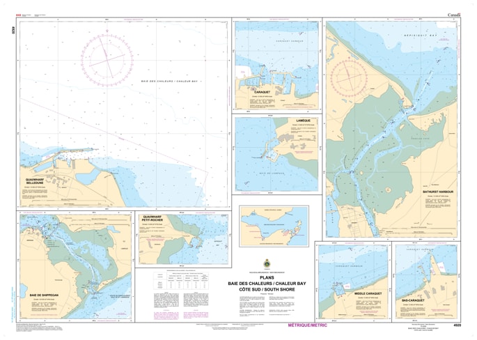
Navigate the protected and historically rich waters of northern New Brunswick with the official Canadian Hydrographic Service (CHS) Chart 4920, detailing the South Shore of Chaleur Bay (Baie des Chaleurs). This highly precise coastal chart is an indispensable tactical resource for commercial fishermen, regional vessel operators, recreational boaters, and maritime historians tracking the marine pathways from Miscou Island westward along the Acadian coastline.
Engineered to track the unique coastal topography and underwater features of this bustling fishing and shipping corridor, this map provides crucial hydrographic details, including accurate depth soundings, shoreline topography, local shoals, and harbor navigation aids. Whether you are using this print-on-demand chart as a vital physical safety backup to your onboard electronic systems or displaying it as a beautifully detailed piece of Maritime heritage in your home, cottage, or office, it offers unmatched clarity. Printed on premium, heavy-duty media, it is built to handle active marine conditions or serve as a striking coastal display.