QUESTIONS? CALL OR TEXT! 1 (877) 921-6277 or (403) 266-2241
WE SHIP EVERYWHERE!

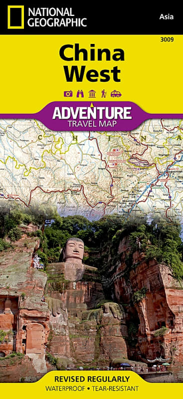
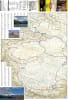
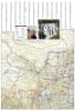
Uncover the vast mountain ranges, ancient Silk Road routes, and diverse cultural landscapes of Western China with the China West National Geographic Adventure Map. Designed specifically for overland travelers, backpackers, and adventure tourists exploring Asia’s most remote regions, this two-sided map delivers an ideal balance of geographic detail, regional perspective, and offline navigation reliability.
Engineered on heavy-duty synthetic paper, this map is 100% waterproof and tear-resistant, built to endure high-altitude treks, desert dust storms, and frequent field folding without degradation.
Side One (Western Frontier & High Asia): Focuses on China's far western boundaries—from the northern borders with Russia, Kazakhstan, and Kyrgyzstan down to India and Bhutan in the south. Features the Tibet Autonomous Region, the Himalayas, the Taklamakan Desert, and the regional hub of Ürümqi.
Side Two (Central Heartland & Historical Capitals): Extends south of Mongolia across central-western provinces, covering key cultural hubs including Chengdu, Chongqing, Xi'an, Lanzhou, Hohhot, Baotou, Shijiazhuang, Taiyuan, Yinchuan, and Zhengzhou.
Overland Transportation Network: Features clear route designations, point-to-point driving distances, primary highways, secondary roads, and remote tracks/trails for off-the-beaten-path exploration.
Specialized Adventure Highlights: Pinpoints hundreds of unique cultural, historic, ecological, and recreational destinations—including ancient Buddhist monasteries, Silk Road historical sites, national parks, and mountain trekking zones.
Compact & Ultra-Durable: Printed in the USA on waterproof synthetic paper. Measures 26" x 38" unfolded and folds down smoothly to a packable 4.25" x 9.25" size.
Whether driving the Karakoram Highway, trekking across the Tibetan Plateau, or exploring the historic Silk Road starting points in Xi'an, National Geographic Adventure Maps are an essential companion to any travel guide.