QUESTIONS? CALL OR TEXT! 1 (877) 921-6277 or (403) 266-2241
WE SHIP EVERYWHERE!

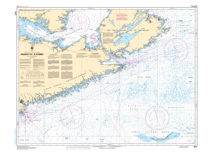
Navigate the rugged Eastern Shore and the approach to Cape Breton with the Official CHS Chart 4012, covering the vital coastal stretch from Halifax to Sydney, Nova Scotia. This large-scale chart is an essential resource for mariners transiting between the province's two largest ports and those heading toward the Gulf of St. Lawrence.
As a genuine Canadian Hydrographic Service (CHS) publication, Chart 4013 provides the authoritative detail required for safe passage along the Atlantic coast. This region is characterized by numerous islands, deep inlets, and the significant transition into Spanish Bay. Whether you are a commercial shipping pilot, a coastal fisherman, or an offshore cruiser, this chart offers the precise bathymetry and shoreline data needed for professional navigation.
Key Features include:
Major Coastal Coverage: Detailed mapping of the Eastern Shore, the Strait of Canso approaches, and the coastline up to Sydney Harbour.
Official Data Accuracy: Compiled by the CHS to meet all regulatory carriage requirements and maritime safety standards.
Navigational Hazards: Clear identification of offshore shoals, rocky ledges, and coastal obstructions along the Atlantic seaboard.
Strategic Transit Tool: An indispensable guide for vessels moving between Southern Nova Scotia, the Bras d'Or Lakes, and Newfoundland.