QUESTIONS? CALL OR TEXT! 1 (877) 921-6277 or (403) 266-2241
WE SHIP EVERYWHERE!

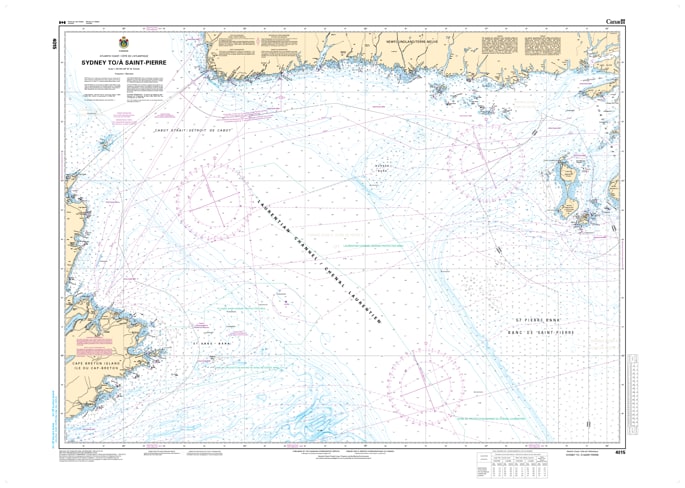
Bridge the gap between Nova Scotia and the French territory of Saint-Pierre and Miquelon with the Official CHS Chart 4015. This vital offshore and coastal chart provides detailed coverage for the maritime corridor from Sydney, Nova Scotia, to Saint-Pierre, crossing the strategic Laurentian Channel.
As an official Canadian Hydrographic Service (CHS) publication, Chart 4015 is an essential resource for international shipping, commercial fishing fleets, and offshore sailors transiting from Cape Breton toward Newfoundland. Navigating the Cabot Strait and the approaches to the Burin Peninsula requires the precise bathymetry and navigational data provided in this authoritative chart.
Key Features include:
International Route Coverage: Detailed mapping from the busy port of Sydney, NS, across the Gulf of St. Lawrence approaches to Saint-Pierre.
Official Data Standards: Compiled by the CHS to meet all regulatory safety and carriage requirements for professional mariners.
Deep Water & Coastal Detail: Features accurate soundings for the Laurentian Channel alongside complex coastal data for the southern tip of Newfoundland.
Navigational Hazards: Clear marking of offshore banks, shipping lanes, and coastal obstructions in the North Atlantic.