QUESTIONS? CALL OR TEXT! 1 (877) 921-6277 or (403) 266-2241
WE SHIP EVERYWHERE!

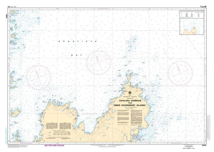
Navigate the treacherous and highly active coastal waters of western Bonavista Bay with the official Canadian Hydrographic Service (CHS) Chart 4854. Providing essential, high-accuracy marine navigation coverage from Catalina Harbour to the Inner Gooseberry Islands, this professional-grade nautical map is a vital tool for commercial vessel operators, regional fishing fleets, and offshore mariners charting the rugged eastern coastline of Newfoundland.
This detailed chart bridges a critical maritime corridor along the Bonavista Peninsula, offering meticulous bathymetric data, shoreline topography, and localized hazard identification. Chart 4854 delivers comprehensive coverage for key harbors, channels, and island clusters, including the busy approaches to Catalina Harbour, the waters surrounding Cape Bonavista, and up into the dense network of shoals and islets near the Inner Gooseberry Islands. Because this region of the North Atlantic is notorious for its intricate underwater geography, hidden rock hazards, shallow reefs, and challenging currents, having the precise depth soundings and navigational aid markings provided by this official CHS publication is paramount for safe pilotage.
Printed on demand using premium, high-durability materials, Chart 4854 is engineered to maintain crisp readability in harsh, wet bridge environments. Whether you are updating your vessel’s primary portfolio to satisfy Canadian marine carriage regulations, securing a reliable physical backup to your electronic chart plotter (ENC), or looking for an authentic piece of Newfoundland coastal cartography for home or office decor, this chart delivers uncompromising accuracy and safety.