QUESTIONS? CALL OR TEXT! 1 (877) 921-6277 or (403) 266-2241
WE SHIP EVERYWHERE!

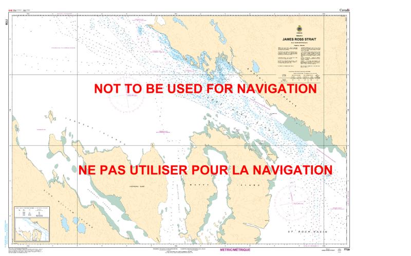
The Canadian Hydrographic Service (CHS) Chart 7739 is an official, government-authorized nautical chart expertly produced for Arctic navigation vessels, commercial transport fleets, high-latitude research ships, and northern maritime pilots. This crucial polar publication provides specialized, high-precision charting of James Ross Strait, a vital marine channel in Nunavut, Canada, that flows between King William Island and the Boothia Peninsula along historic Northwest Passage maritime transit routes.
Strategic Arctic Channel Coverage: Delivers unbroken, high-accuracy mapping of James Ross Strait, including adjacent shorelines, complex inlets, and surrounding low-lying islands.
Official High-Latitude Bathymetry: Features reliable localized depth soundings, seafloor contour metrics, and specific navigational data highlighting underwater shoals, shifting pack-ice groundings, and shallow coastal zones.
Essential Aids to Navigation: Explicitly charts official Canadian Coast Guard buoys, alignment beacons, coastal daymarks, and multiple compass roses calibrated for extreme northern magnetic anomalies.
High-Contrast Multi-Light Legibility: Printed with premium marine-grade inks formulated to remain highly visible and distinct under intense subarctic glare or dark wheelhouse environments.
Official Safety & Carriage Compliance: Fully satisfies mandatory vessel carriage requirements and Canada Shipping Act regulations for macro-scale voyage planning and physical chart carriage within northern safety sectors.