QUESTIONS? CALL OR TEXT! 1 (877) 921-6277 or (403) 266-2241
WE SHIP EVERYWHERE!

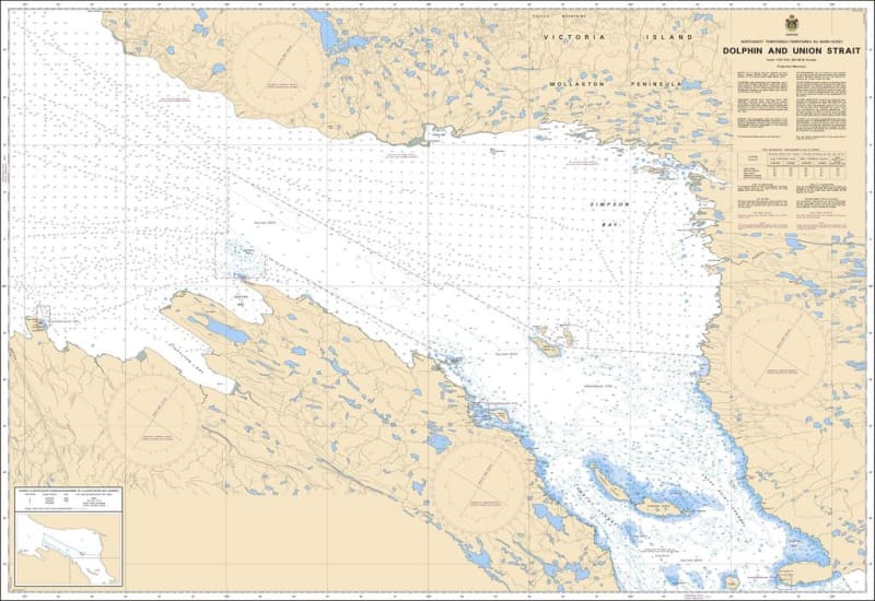
The Canadian Hydrographic Service (CHS) Chart 7776 is an official, government-authorized nautical chart specifically engineered for ocean-going transit vessels, Arctic research fleets, community resupply barges, and experienced northern maritime pilots. This essential polar navigation chart delivers precise, wide-area hydrographic coverage of Dolphin and Union Strait, a highly critical maritime corridor located along the boundary of Nunavut and the Northwest Territories, separating the Canadian mainland from the southwestern coast of Victoria Island.
Vital Arctic Passage Coverage: Provides seamless, high-accuracy mapping of Dolphin and Union Strait, serving as a primary link connecting the Amundsen Gulf to the west with Coronation Gulf to the east.
Official Polar Bathymetry: Features expansive depth soundings, coastal shelf profiles, bottom composition notations, and clear safety indicators highlighting hazardous shoals, shallow coastal spits, and hidden reefs.
Essential Aids to Navigation: Explicitly charts official Canadian Coast Guard buoys, shore-based daybeacons, radar transponder markers (Racons), and multiple compass roses precisely calibrated to account for localized high-latitude magnetic anomalies.
High-Contrast Multi-Light Legibility: Printed with premium marine-grade inks formulated to maintain absolute clarity and sharpness under harsh subarctic glare or late-season twilight conditions in the wheelhouse.
Official Safety & Carriage Compliance: Fully satisfies mandatory vessel carriage requirements and Canada Shipping Act regulations for voyage planning and navigation safety within northern zone transport corridors.