QUESTIONS? CALL OR TEXT! 1 (877) 921-6277 or (403) 266-2241
WE SHIP EVERYWHERE!

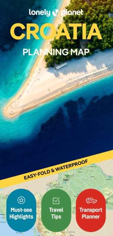
The Lonely Planet Croatia Planning Map is the ultimate, field-tested navigation guide designed for coastal road-trippers, island hoppers, and culture seekers exploring the jewel of the Adriatic. Combining Lonely Planet’s expert travel recommendations with rugged, weather-ready cartography, this easy-fold map makes planning your Croatian adventure simple, seamless, and stress-free.
Comprehensive Nationwide Coverage: Detailed cartography capturing all of Croatia—from the Roman monuments of Istria and the red-tiled roofs of Dubrovnik to the pristine inland waterfalls of Plitvice Lakes National Park.
Island Hopping & Ferry Routes: Clearly marks Adriatic ferry lines and catamaran connections linking mainland ports (Split, Zadar, Dubrovnik) to top island destinations including Hvar, Brač, Korčula, and Vis.
Road Networks & Scenic Coastal Drives: Highlights primary highways (A1 motorway), coastal scenic routes (Jadranska Magistrala), connecting regional roads, and border crossings.
Top Sights & Historic Landmarks: Pinpoints UNESCO World Heritage sites, national parks, medieval walled towns, ancient Roman ruins, and top coastal beaches.
Urban Insets & Orientation: Provides focused spatial detail for key gateway cities including Zagreb, Split, Dubrovnik, Zadar, and Pula.
Printed on premium synthetic paper, this map is 100% waterproof, tear-resistant, and spill-proof—built to withstand sea spray on boat ferries, summer heat, and heavy daily handling. Its specialized easy-fold design ensures it opens quickly and refolds effortlessly without fraying at the seams, making it a perfect glovebox, daypack, or beach bag companion.
Whether you are driving the dramatic Adriatic Highway, hopping between Dalmatian islands, or keeping a reliable offline backup for countryside exploration, the Lonely Planet Croatia Planning Map delivers total confidence on the move.