QUESTIONS? CALL OR TEXT! 1 (877) 921-6277 or (403) 266-2241
WE SHIP EVERYWHERE!

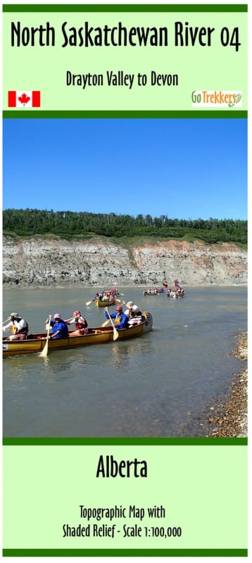
Navigate the winding waters of Central Alberta with the North Saskatchewan River Map 4. This specialized 1:100,000 scale topographic guide covers the essential river corridor from Drayton Valley to Devon, a premier stretch for both novice and experienced paddlers. As the fourth installment in our comprehensive six-map series, this guide provides the detailed reconnaissance needed to transition from the rugged upper reaches toward the Edmonton river valley.
Comprehensive River Intelligence:
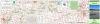
Detailed Navigation: Featuring high-resolution shaded relief, this 41.5" x 10" map allows you to visualize the river's topography, islands, and sandbars with professional accuracy.
Essential Access Points: Never miss a launch or take-out. The map identifies all river access points with precise location information for easy shuttle planning.
Backcountry Camping: Includes clearly marked campgrounds and recommended stopping points along the banks, making it an indispensable tool for multi-day canoe tripping.
Durable Design: Printed on high-quality paper and protected by a plastic sleeve, ensuring your map survives the splashes and humidity of a long day on the water.
Whether you are seeking a peaceful drift through the Alberta parkland or scouting for the best fishing holes, this map is the gold standard for navigating the North Saskatchewan.