QUESTIONS? CALL OR TEXT! 1 (877) 921-6277 or (403) 266-2241
WE SHIP EVERYWHERE!

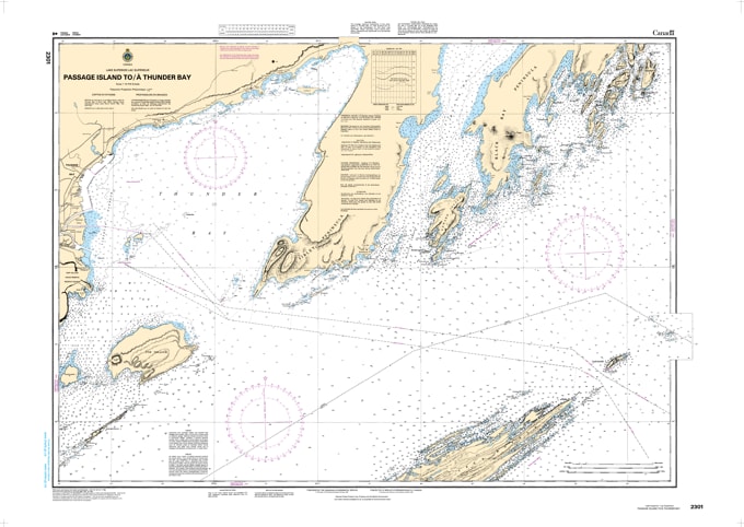
Master the rugged northern waters of Lake Superior with Nautical Chart 2301, the definitive navigational guide for the transit between Passage Island and Thunder Bay. This chart is a critical tool for mariners navigating the approach to one of the Great Lakes' most significant ports and the dramatic coastline of the Sleeping Giant.
Providing comprehensive hydrographic data, Chart 2301 offers precise depth contours, clear identification of rocky shoals, and essential light station information. From the isolated light at Passage Island to the bustling harbor entries of Thunder Bay, this map ensures you can navigate the deep, cold waters of the "Inland Sea" with professional-grade accuracy.
Key Features:
Strategic Coverage: Detailed mapping of the primary shipping and recreational routes from Passage Island across to the Thunder Bay waterfront.
Safety First: Highlights significant underwater hazards, shipping lanes, and essential navigational aids unique to Lake Superior's North Shore.
Superior Clarity: High-contrast bathymetric data and shoreline topography designed for quick referencing in the cockpit or at the helm.
Regional Essential: An indispensable resource for commercial vessels, long-distance cruisers, and local Lake Superior sailors.