QUESTIONS? CALL OR TEXT! 1 (877) 921-6277 or (403) 266-2241
WE SHIP EVERYWHERE!

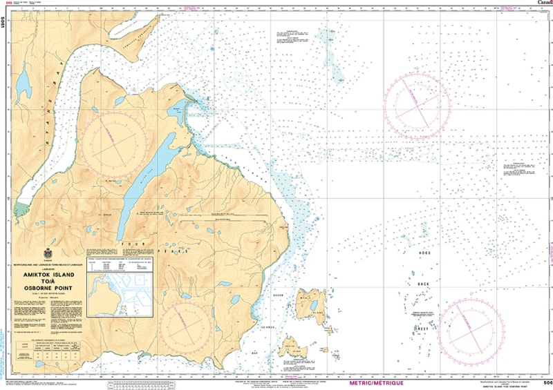
Navigate the remote and challenging waters of the northern Labrador coast with Nautical Chart 5061. This high-precision hydrographic map provides essential coverage for the coastal stretch from Amiktok Island to Osborne Point, offering critical data for vessels operating in these rugged, subarctic waters.
Chart 5061 is an indispensable tool for northern navigation, featuring detailed bathymetric soundings that are vital for transiting the intricate island chains and deep-water passages of the Labrador Sea. It provides clear identification of treacherous underwater pinnacles, rocky shoals, and ice-scoured coastal features. Whether you are conducting scientific research, commercial shipping, or remote coastal exploration, this chart provides the professional-grade accuracy and topographical detail required for safe passage along this sparsely populated and weather-intensive shoreline.
Key Features:
Arctic Coast Precision: Detailed mapping of the remote Labrador shoreline from Amiktok Island to the vicinity of Osborne Point.
Hydrographic Accuracy: Includes updated depth contours, submerged hazards, and bottom characteristics essential for northern anchoring.
Safety in Remote Waters: Clear marking of coastal landmarks and available navigational aids for a region known for extreme weather and limited visibility.
Professional Grade: Engineered to meet the rigorous standards of the Canadian Hydrographic Service (CHS) for high-latitude navigation.