QUESTIONS? CALL OR TEXT! 1 (877) 921-6277 or (403) 266-2241
WE SHIP EVERYWHERE!

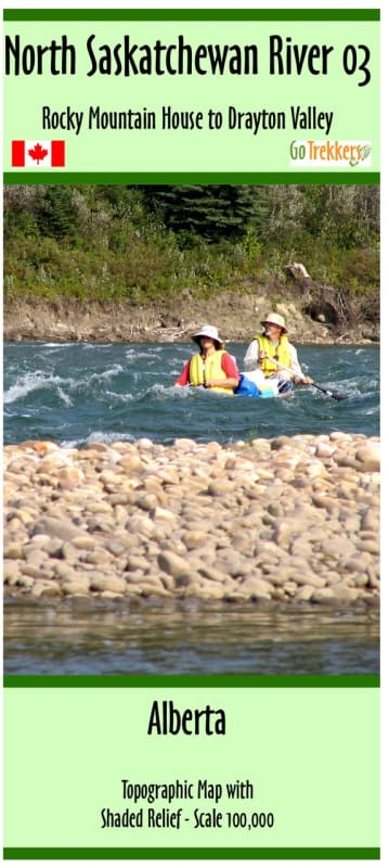
Navigate one of Alberta's most scenic paddling corridors with the North Saskatchewan River Map 3: Rocky Mountain House to Drayton Valley. Mapped at a highly precise 1:100,000 scale, this waterproof guide is an absolute necessity for canoeists, kayakers, and overlanders planning to tackle this classic stretch of river. As the third installment in a definitive six-map wilderness series that traces the river all the way to the Saskatchewan border, this map provides the granular detail needed to scout rapids, locate safe put-ins, and identify wilderness campsites.
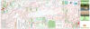
Measuring a generous 41" x 17", this map is built for the realities of river travel. It details the intricate channels, shifting sandbars, and topographical features of the river valley, ensuring you stay on the safest line through the water. Whether you are planning a multi-day backcountry canoe trip, an afternoon kayak run, or angling for walleye and goldeye, this map offers the local knowledge and scale accuracy that digital GPS apps lack in deep river valleys. Durable, clear, and specifically tailored for paddlers, it's your blueprint for an unforgettable Alberta river expedition.
Scale: 1:100,000 (1 cm = 1 km) for high-density topographical and river detail.
Dimensions: 41 x 17 inches (Panoramic fold-out format, ideal for canoe decks).
Series Position: Map 3 of 6 (The complete series spans from Drayton Valley to the Saskatchewan border).
Paddler Data: Highlights access points, boat launches, campsites, rapids classification, and major river landmarks.
Topography: Features contour lines and valley shading to help read the surrounding terrain and cliffs.