QUESTIONS? CALL OR TEXT! 1 (877) 921-6277 or (403) 266-2241
WE SHIP EVERYWHERE!

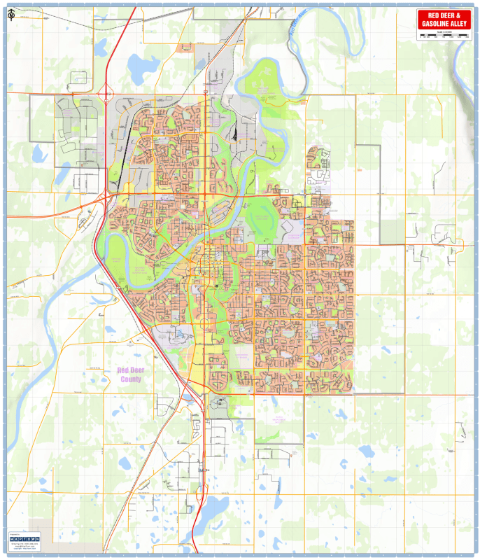
Navigate Central Alberta’s primary economic and urban hub with the Red Deer & Gasoline Alley Wall Map (Large 36x42 Edition). Purpose-built for corporate boardrooms, logistics dispatch centers, municipal planning, delivery routing, and local residents, this comprehensive wall map offers an expansive, high-resolution view of the City of Red Deer and the contiguous Gasoline Alley commercial corridor in Red Deer County.
Engineered by MapTown for maximum legibility and visual clarity, this large-format street guide features high-contrast rendering across all levels of the transit grid—from major transportation arteries like Highway 2 (Queen Elizabeth II Highway) to secondary collectors, residential neighborhood streets, and rail lines. It serves as an essential reference tool for daily fleet management, service area demarcation, and regional exploration.
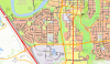
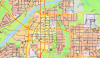
High-Contrast Road & Rail Grid: Clear visual separation of primary expressways, secondary arterial corridors, residential streets, and regional railway networks.
Essential Public Safety & Community Icons: Highlights municipal and emergency infrastructure with intuitive symbols for police stations, fire halls, EMS facilities, hospitals, and schools.
Commercial & Civic Destinations: Pinpoints major shopping centers, industrial parks, community hubs, public libraries, and civic landmarks across Red Deer and Gasoline Alley.
Parks, Recreation & Natural Features: Maps local river systems (including the Red Deer River valley), urban green spaces, municipal parks, golf courses, and sports facilities.
Neighborhood & Boundary Clarity: Clearly identifies specific community names and municipal boundaries across Red Deer and Red Deer County.
Substantial 36" x 42" Large Format: Expansive display area designed for clear, long-range viewing when mounted in dispatch hubs, offices, or home workspaces.
Whether coordinating commercial service fleets, analyzing sales territories, or planning local logistics, this large-format Red Deer street map delivers the granular detail required for professional and administrative use.