QUESTIONS? CALL OR TEXT! 1 (877) 921-6277 or (403) 266-2241
WE SHIP EVERYWHERE!

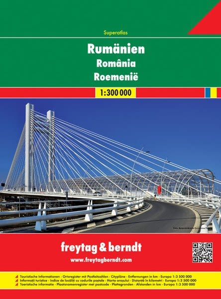
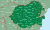
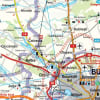
Navigate every region of Romania with accuracy using the comprehensive ROSP Romania Road Atlas. Featuring top-quality cartography and high-density spatial detail, this essential driving and travel atlas provides complete coverage of Romania’s national highways, scenic mountain passes, rural roadways, and historic towns.
Engineered for seamless route planning—whether touring the Carpathian Mountains, visiting Transylvanian castles, or navigating major urban corridors—this atlas combines clear regional mapping with practical travel tools:
Comprehensive Road Network: Displays primary motorways, secondary roads, scenic routes, distance markers, and regional border crossings across all Romanian counties.
Detailed City Plans: Includes high-resolution urban street maps for major metropolitan centers, regional capitals, and historic cities to simplify city driving and navigation.
Extensive Index: Features an exhaustive, easy-to-use place name index for quick location lookup of towns, villages, and geographic landmarks.
Top-Tier Cartography: Built with clear elevation shading, administrative boundaries, and intuitive symbols for fuel stations, historical sites, and tourist amenities.
Whether you are planning an extended road trip across Romania, managing regional logistics, or building a high-quality map collection, the ROSP Romania Road Atlas is your trusted companion on the road.