QUESTIONS? CALL OR TEXT! 1 (877) 921-6277 or (403) 266-2241
WE SHIP EVERYWHERE!

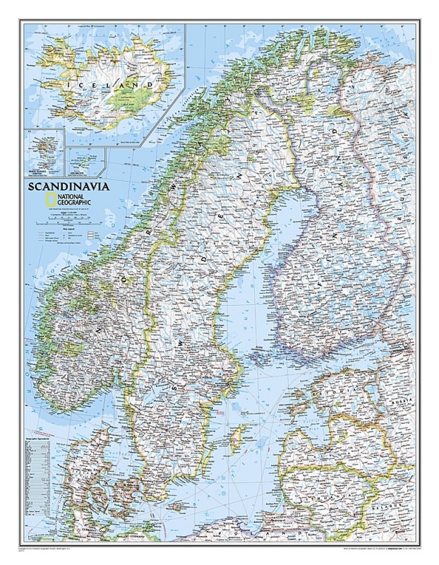
Discover the majestic fjords, vibrant Baltic cities, and arctic landscapes of Northern Europe with the Scandinavia Political Wall Map – National Geographic. Engineered to National Geographic’s world-renowned cartographic standards, this detailed reference map delivers accurate geographic, political, and physical detail for Norway, Sweden, Denmark, Finland, and surrounding Baltic and North Sea territories.
Featuring a clear, classic cartographic style, this wall map highlights international political boundaries, national capitals, major cities, and regional towns. It maps key physical geography—including Norway’s famous deep-water fjords, Sweden’s sprawling lake systems, and the Baltic coastline—alongside vital transport infrastructure like primary highways, secondary roads, and international airports.
Comprehensive Nordic & Baltic Coverage: Detailed mapping of Norway, Sweden, Denmark, and Finland, alongside neighboring regions of the Baltic Sea, North Sea, and Arctic Circle.
Political & Cultural Data: Highlights national borders, administrative divisions, primary cities, historical towns, and major transport hubs.
Physical Landmarks & Hydrography: Clearly labels iconic natural features including Nordic mountain ranges, deep coastal fjords, major rivers, and extensive lake networks.
Transportation & Infrastructure: Maps primary highway systems, secondary driving routes, ferry corridors, and major airports across Northern Europe.
Signature National Geographic Palette: Printed with crisp topography, rich ocean bathymetry shading, and clean typography, making it an elegant decorative piece.
Versatile Display: Ideal for framing or hanging in corporate offices, educational classrooms, travel agencies, home libraries, or study spaces.
Whether used as an educational reference tool, a travel-planning visual, or an artistic focal point for European geography lovers, the National Geographic Scandinavia Political Wall Map combines spatial precision with timeless design.