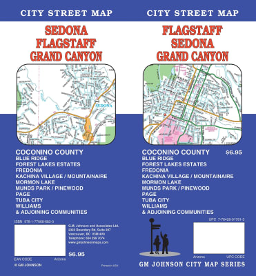
A popular retreat from the winter cold, Arizona offers attractions such as fishing and hiking areas, ski resorts, dude ranches, and of course, the Grand Canyon.
National Geographic's Flagstaff and Sedona Trails Illustrated topographic map is the most comprehensive available for outdoor enthusiasts of all types. Designed to be easy-to-read, yet highly detailed – this map includes a comprehensive road and trail network distinguishing between major, secondary, high-clearance, OHV routes, hiking, horse, biking, multi-use, motorized and non-motorized trails. All forest roads are labeled with their official road number and trails are clearly identified with their given name. Boundaries are color-coded and clearly shown for National Forest, National Monument, Ranger Districts, Wilderness Areas, State Park, State Wildlife Areas, Department of Defense, and Indian Reservation lands. Additionally, Arizona Game Management Unit (GMU) boundaries and public and private lands are clearly identified.
With over 5 million visitors each year, Grand Canyon National Park, is one of America's most popular destinations. Over 1.2 million acres in size, the park spans from Lake Mead and Parashant National Monument at its western edge to Glen and Paria Canyons at the East. Grand Canyon National Park and its neighboring National Forests and wilderness areas offer a wide range of recreational opportunities, from sightseeing to overnight family camping to rigorous backcountry itineraries and river float trips.
National Geographic’s Trails Illustrated map of Grand Canyon West covers some of the less frequented but just as wondrous landscape of Grand Canyon National Park, from Powell Plateau to the park's western boundary. Expertly researched and created in partnership with the National Park Service, U.S. Forest Service, Bureau of Land Management and others, the map also covers the surrounding areas of Kaibab National Forest, Hualapai Havasupai Indian Reservations and Parashant National Monument. With so much of the area being backcountry, the map also includes useful backcountry information, regulations and safety tips, in addition to a backcountry use area guide, coded by degree of experience required.
Explore the splendor of the Grand Canyon from Glen Canyon to Grand Canyon Village on the south rim with National Geographic’s Trails Illustrated map of Grand Canyon East. Expertly researched and created in partnership with local land management agencies, this map features key points of interest including Paria Canyon-Vermilion Cliffs Wilderness, Kaibab National Forest, Saddle Mountain Wilderness, Marble Canyon, and the Colorado River.
Our Glen Canyon NRA and Rainbow Bridge NM Trails Illustrated map provides detailed topographic coverage, trails, and locations of important recreational points of interest for outdoor enthusiasts. Inset maps for Hite, Halls Crossing, Dangling Rope, Bullfrog Bay, and Wahweap marinas and campgrounds show the location of key facilities such as boat ramps, RV campgrounds, laundry facilities, and parking.